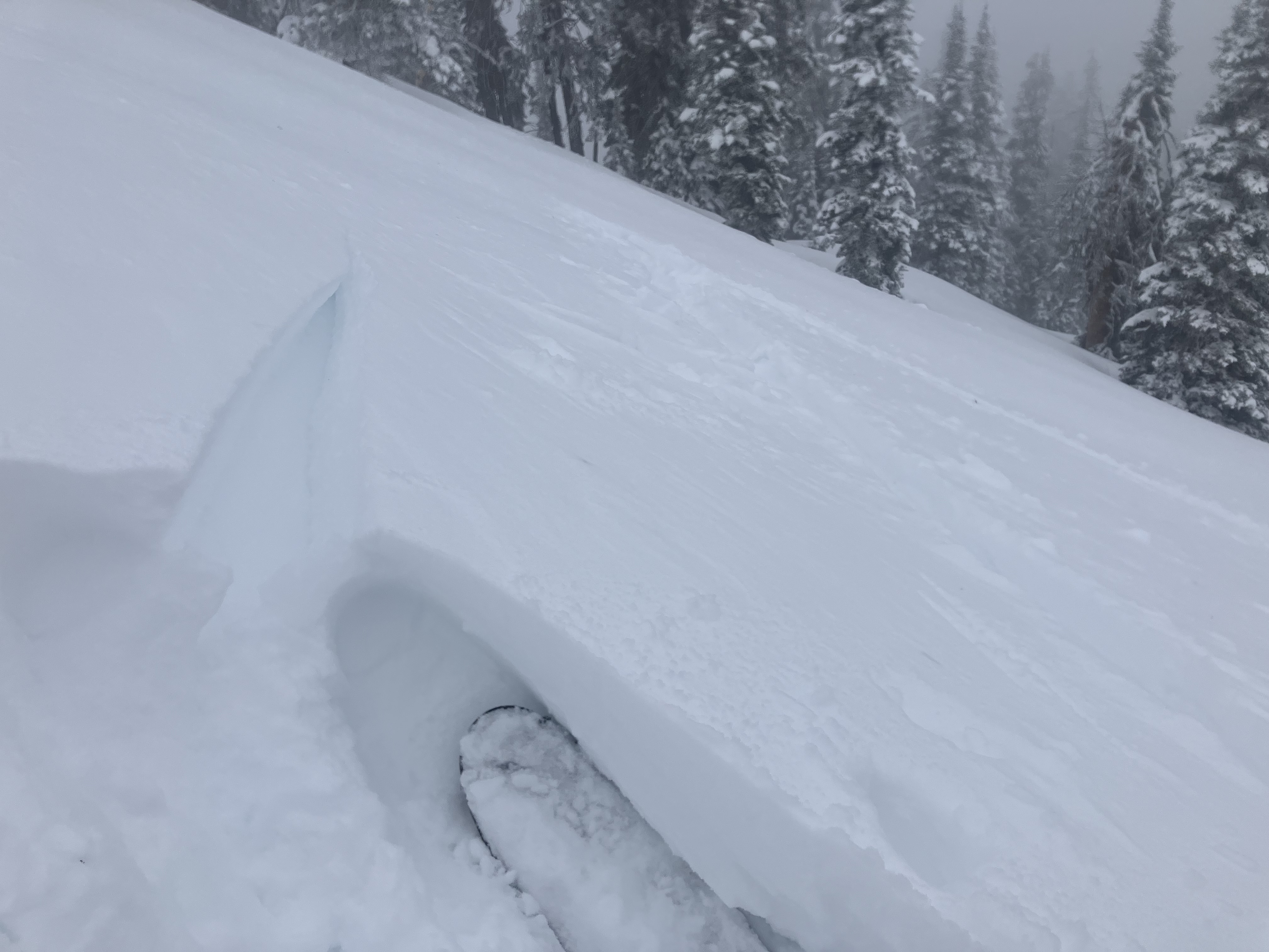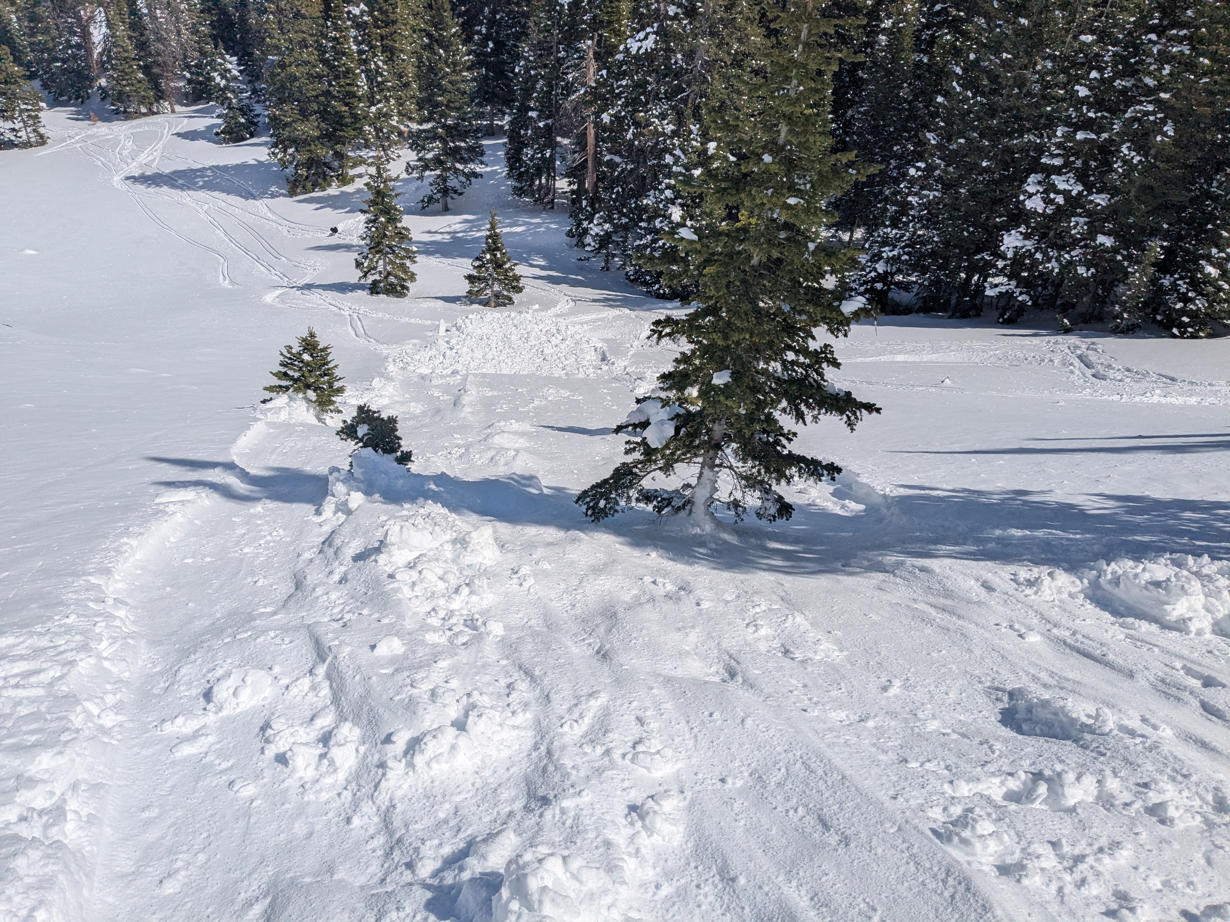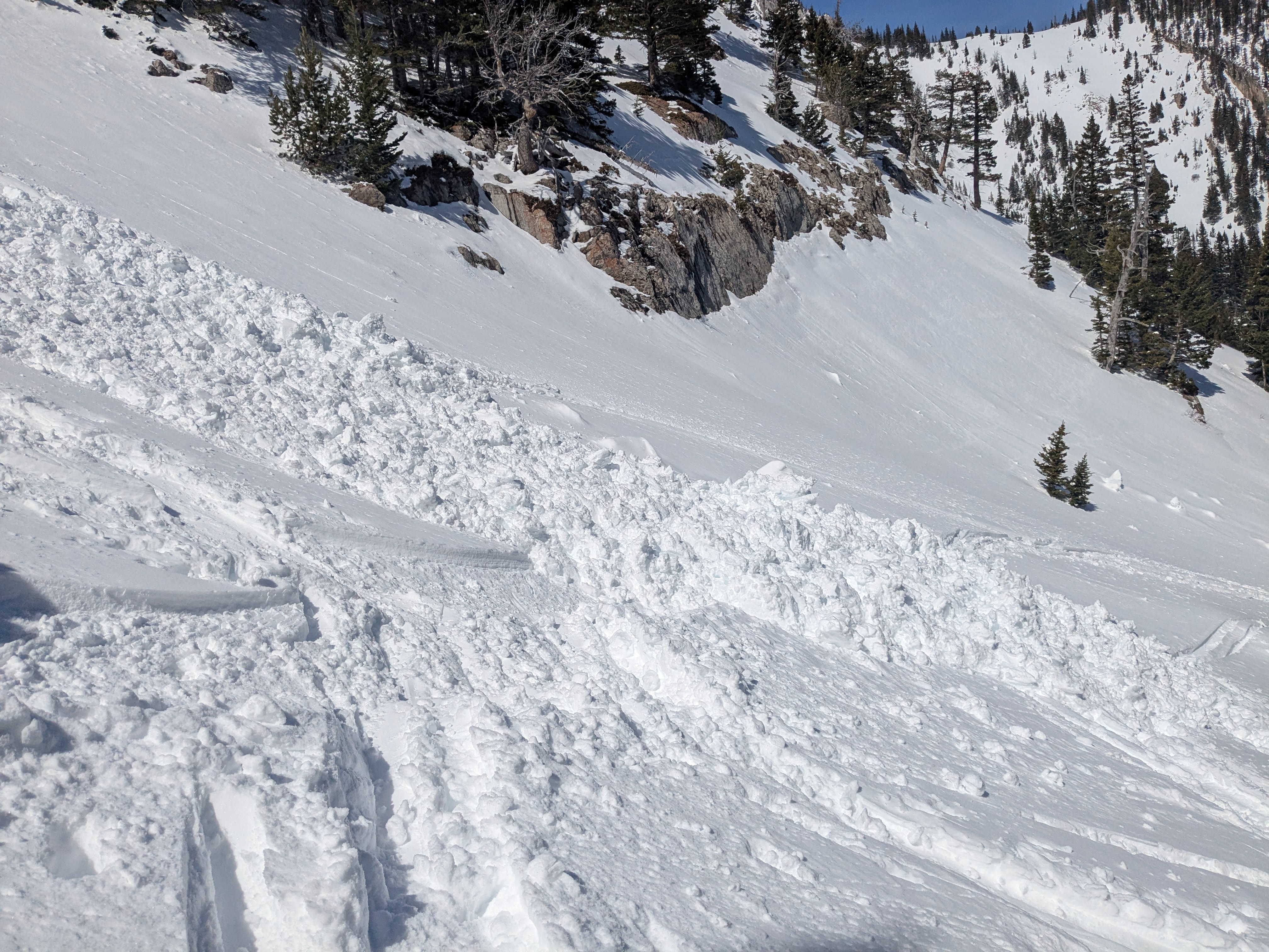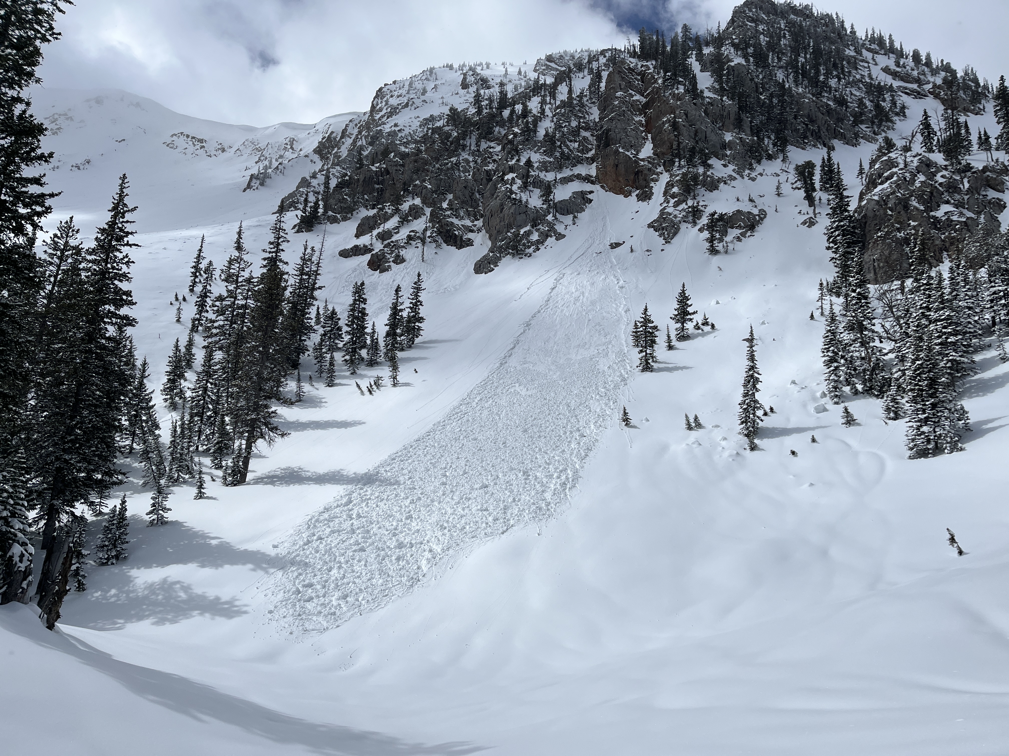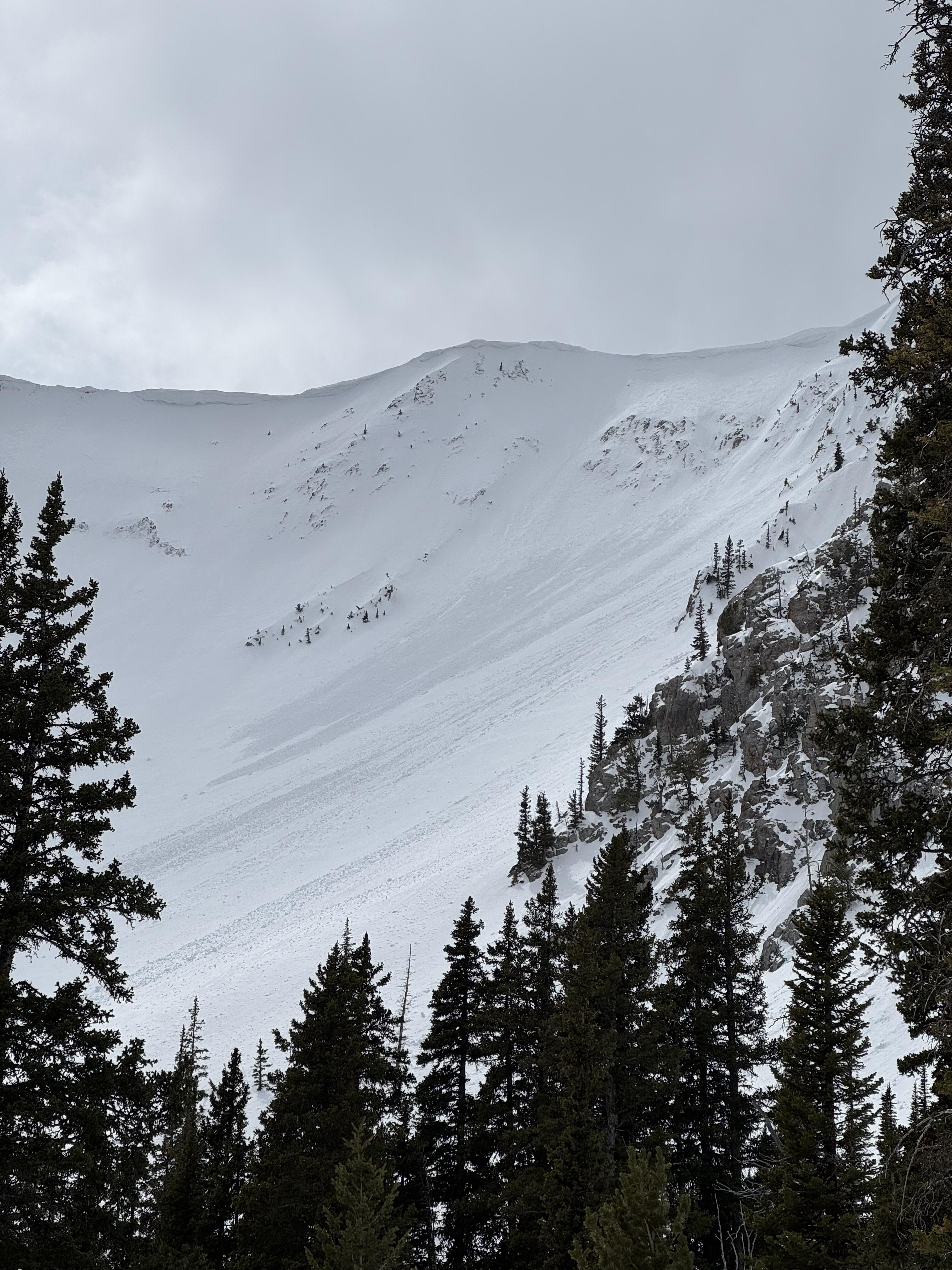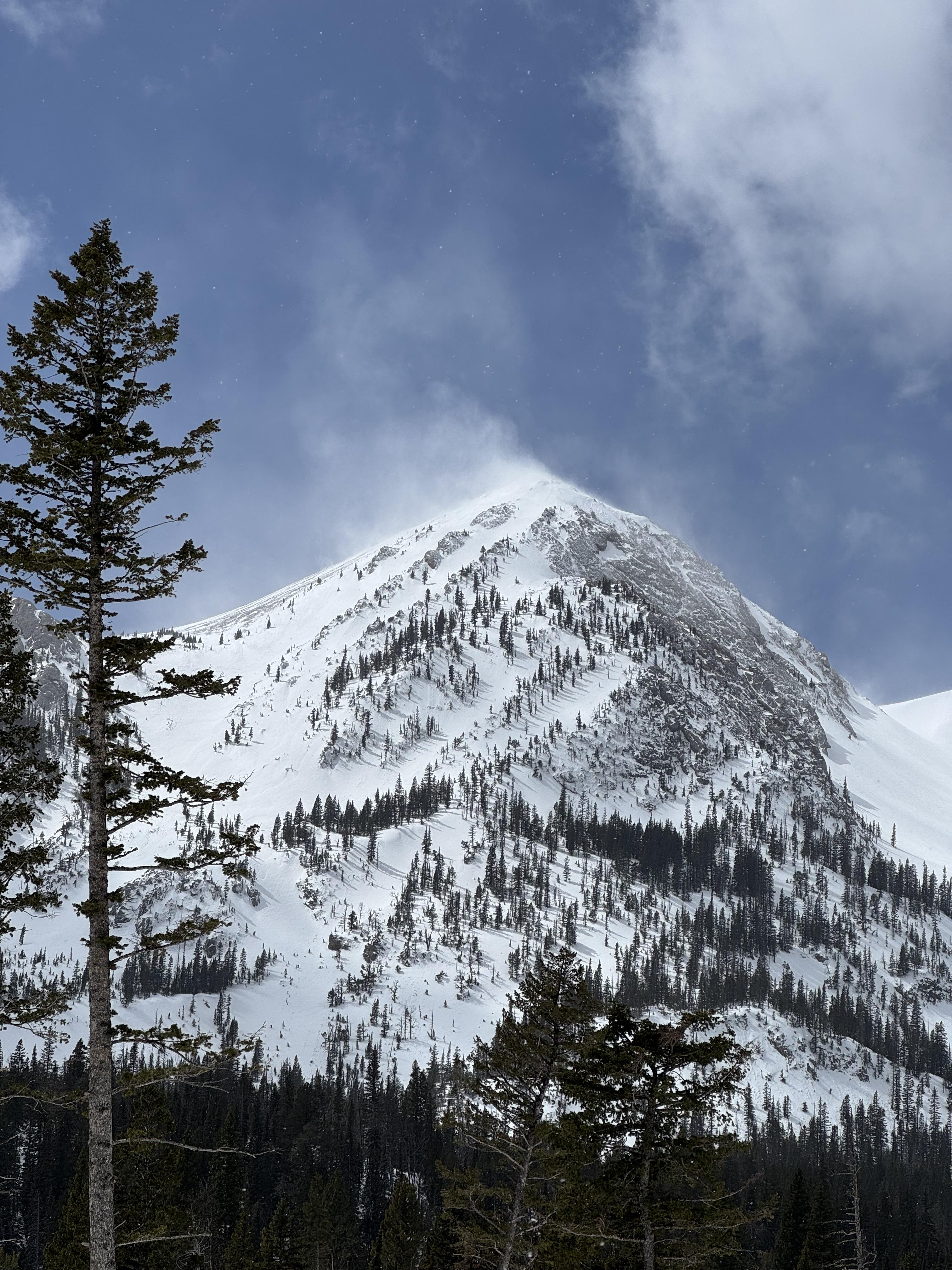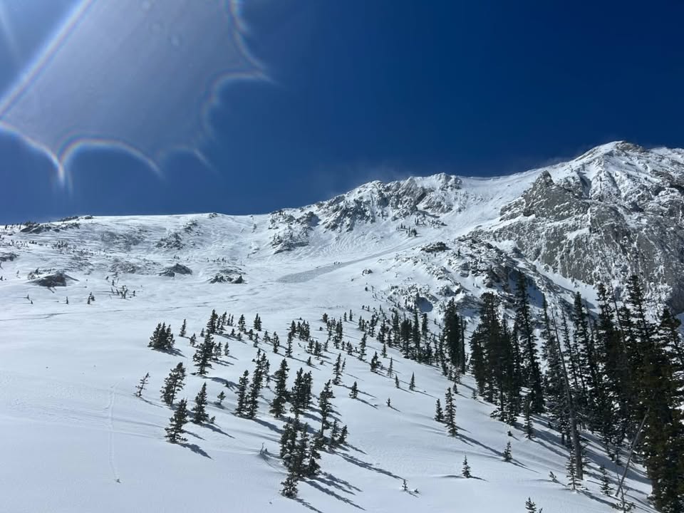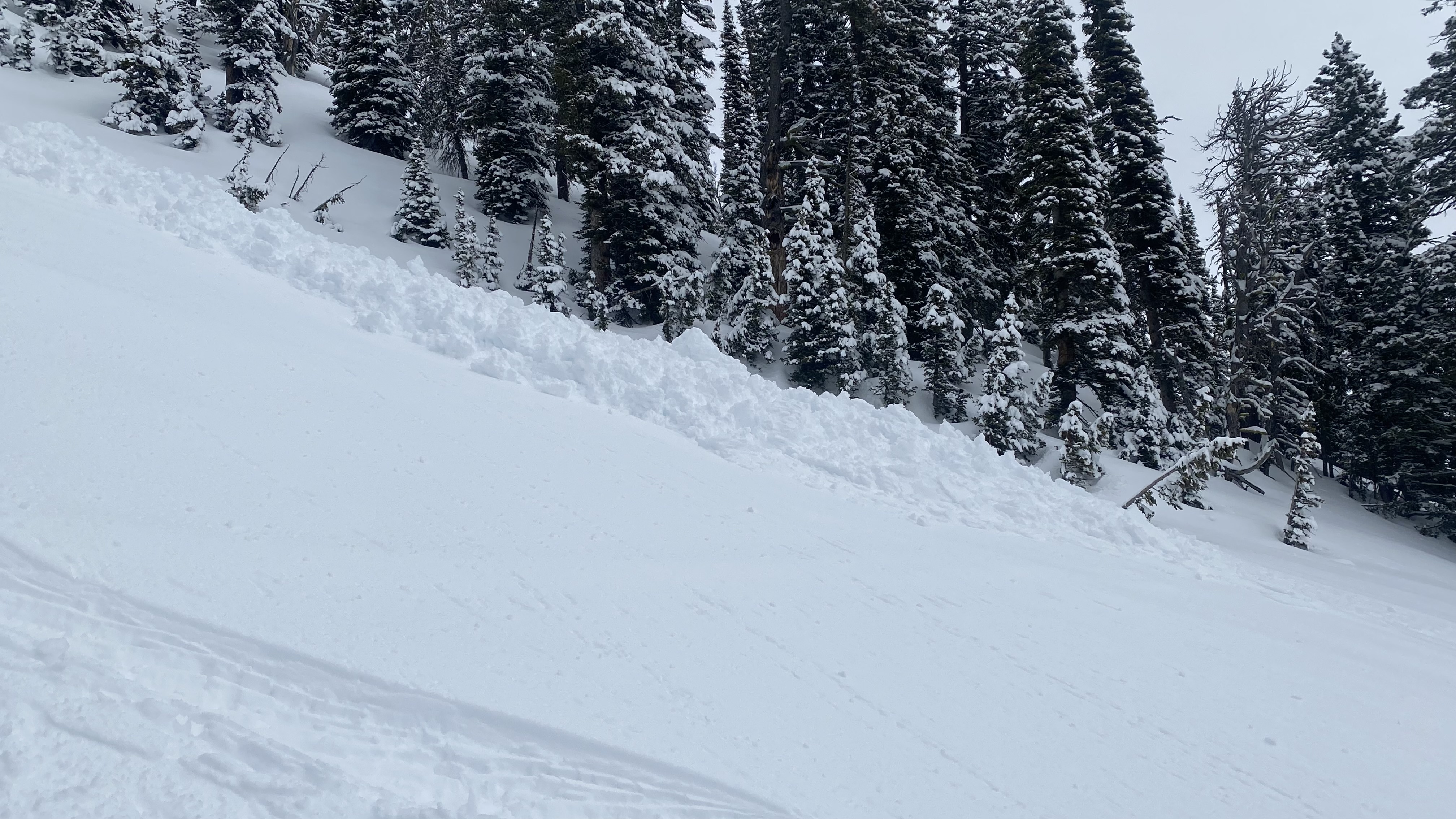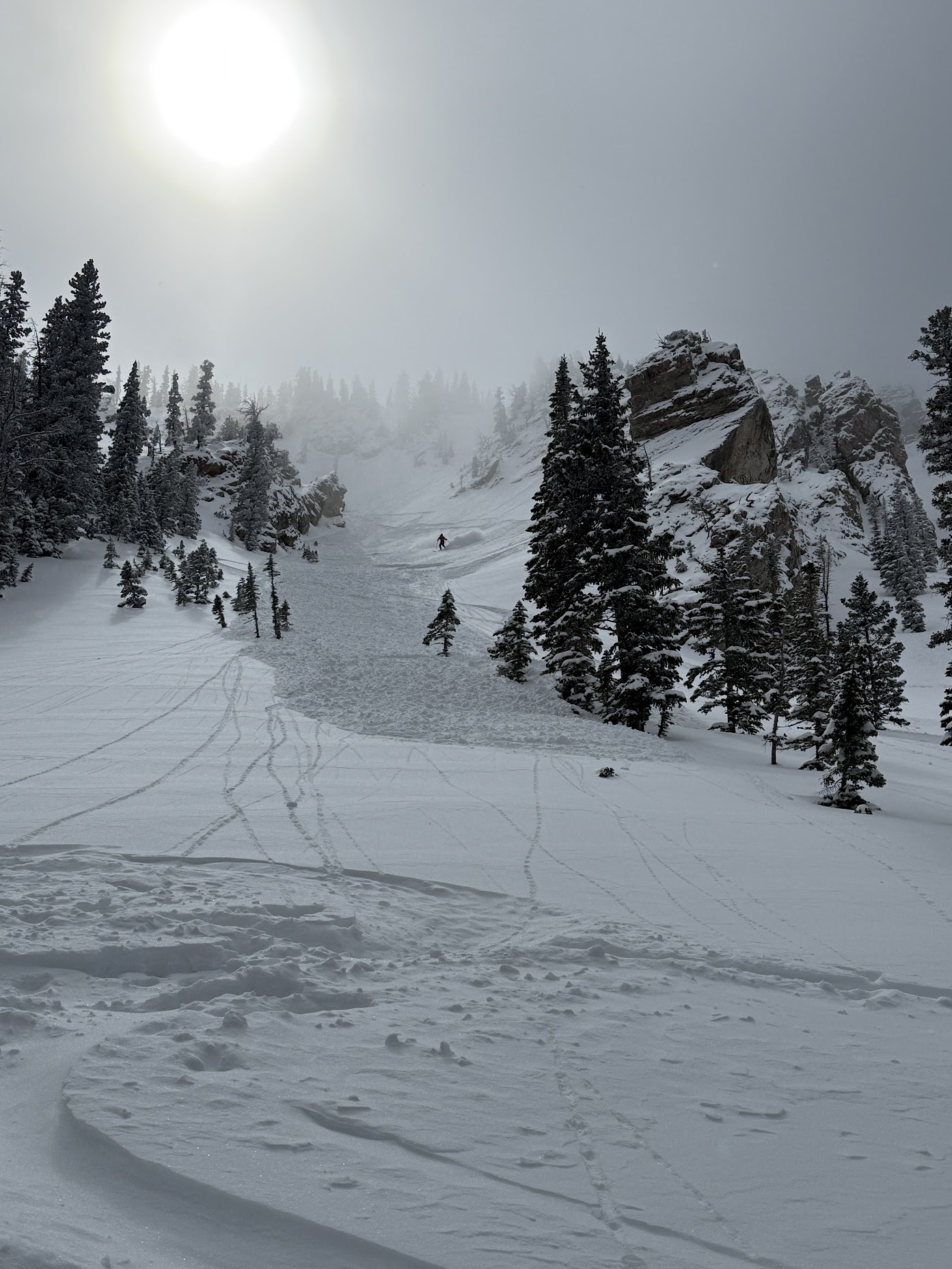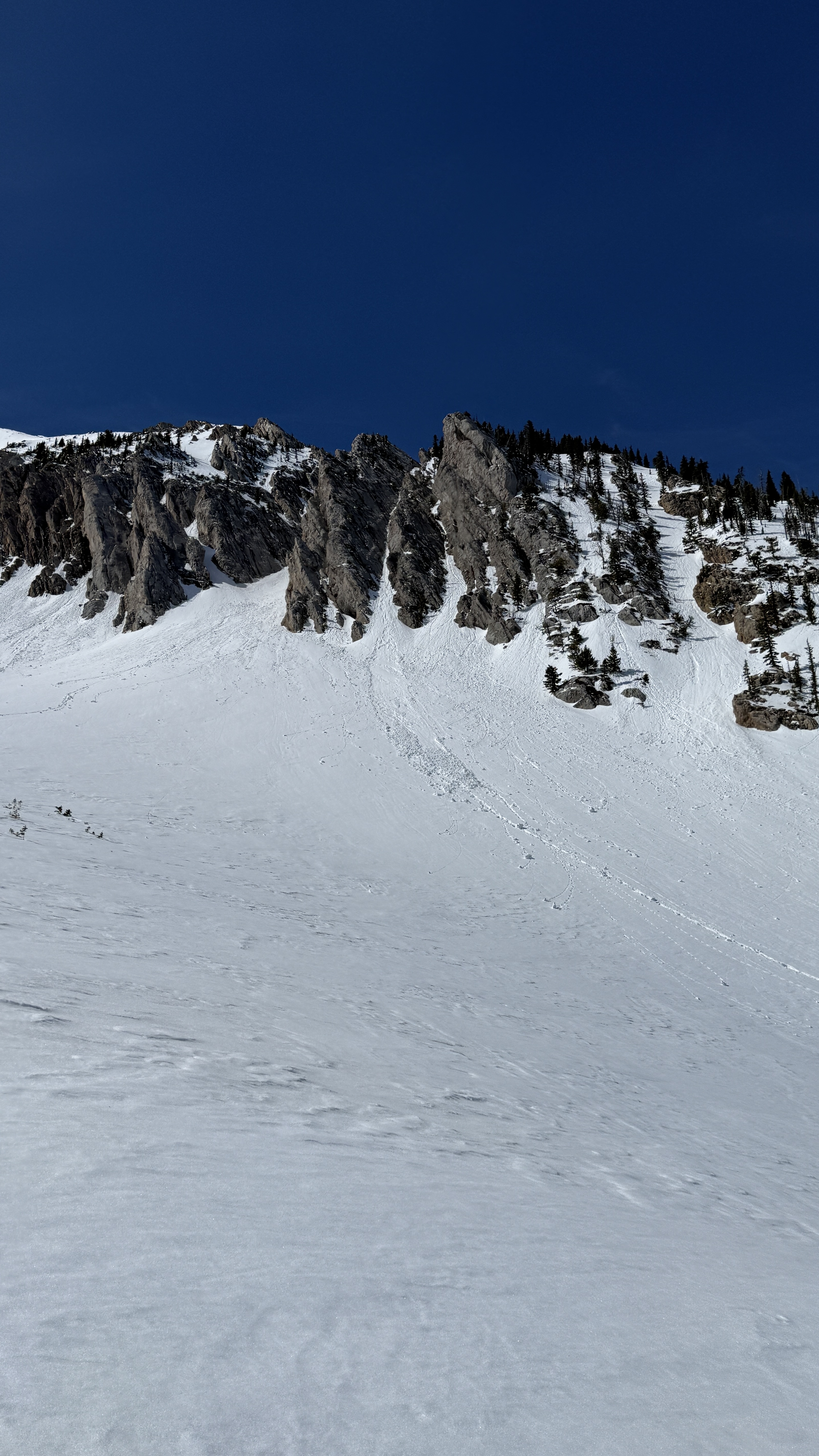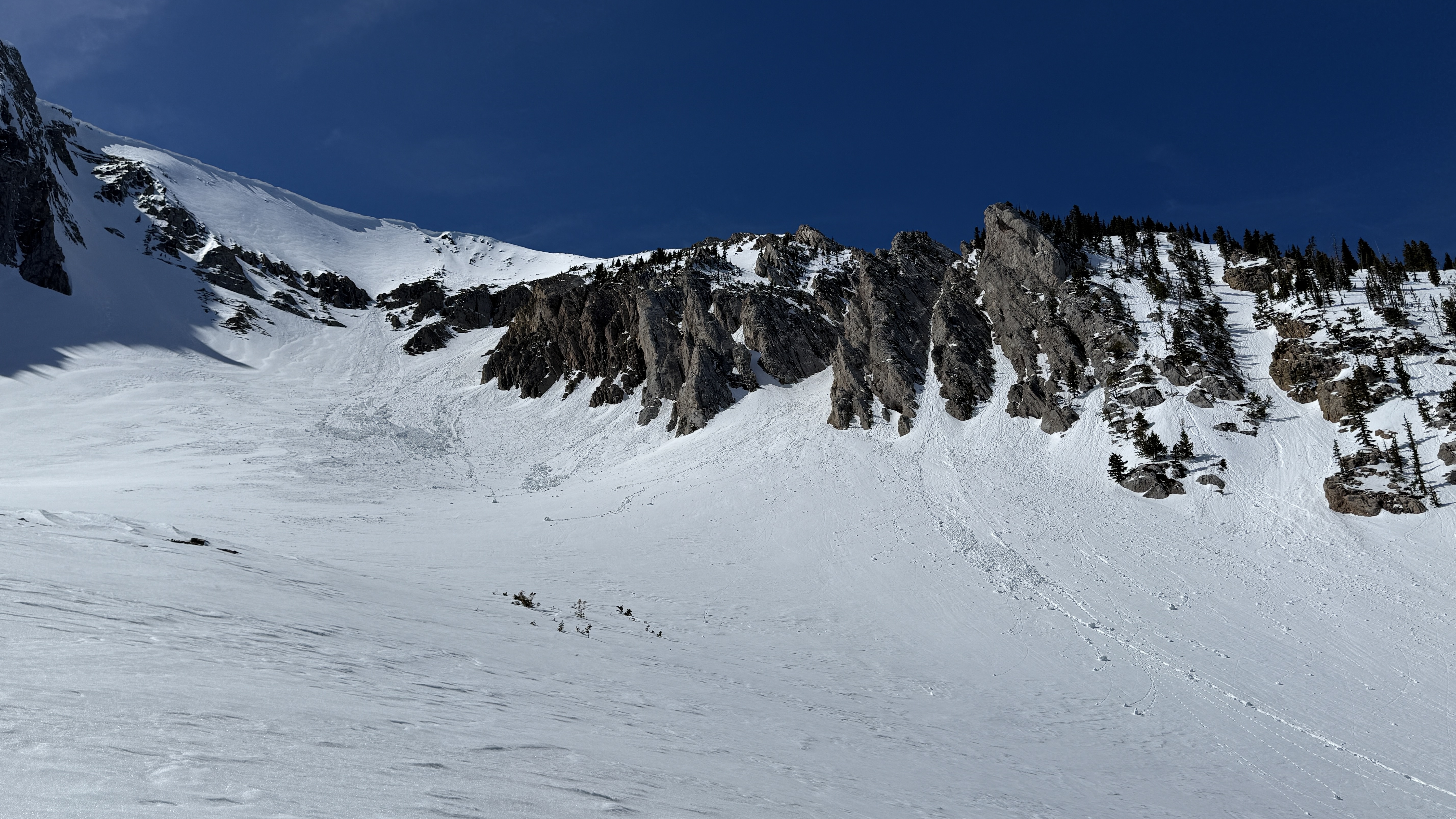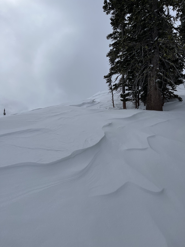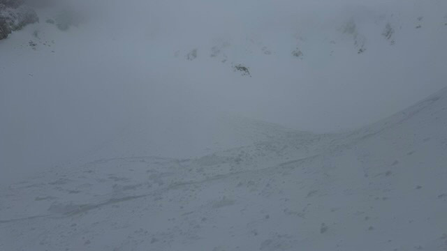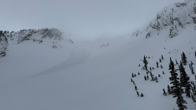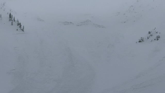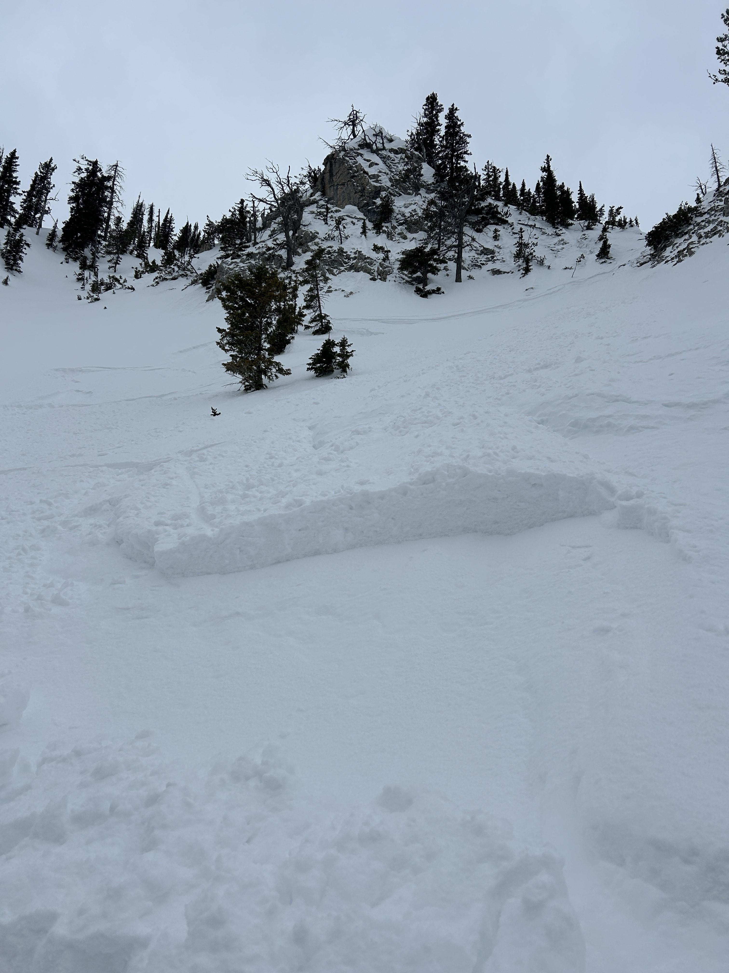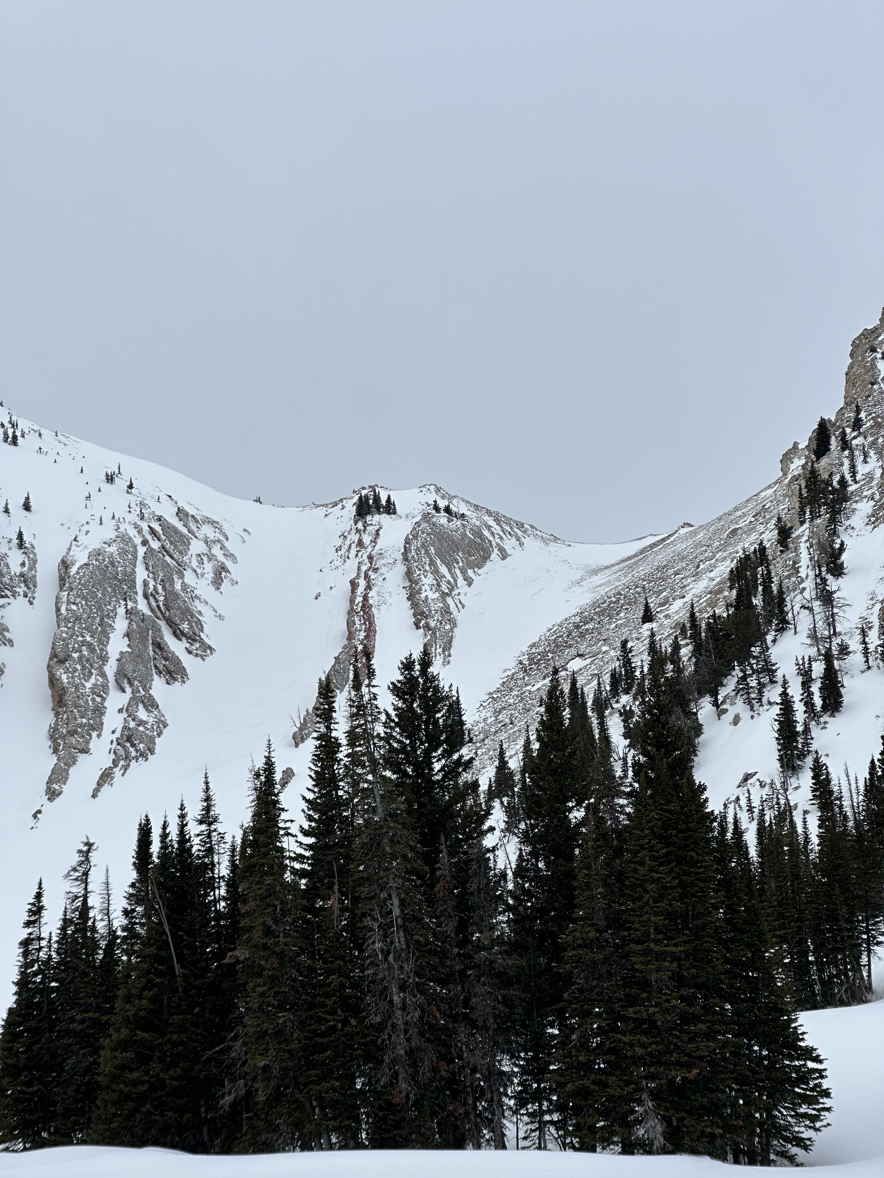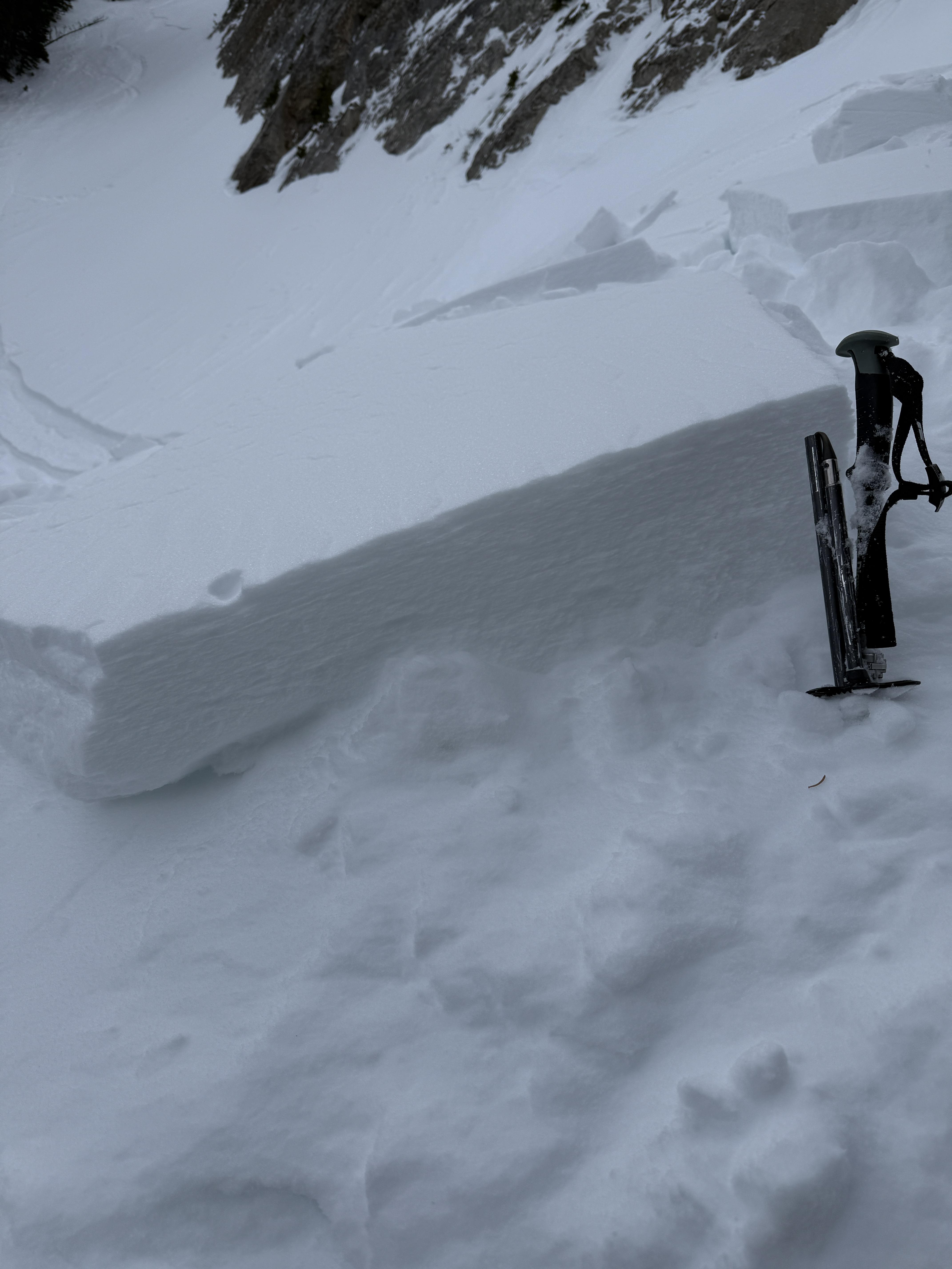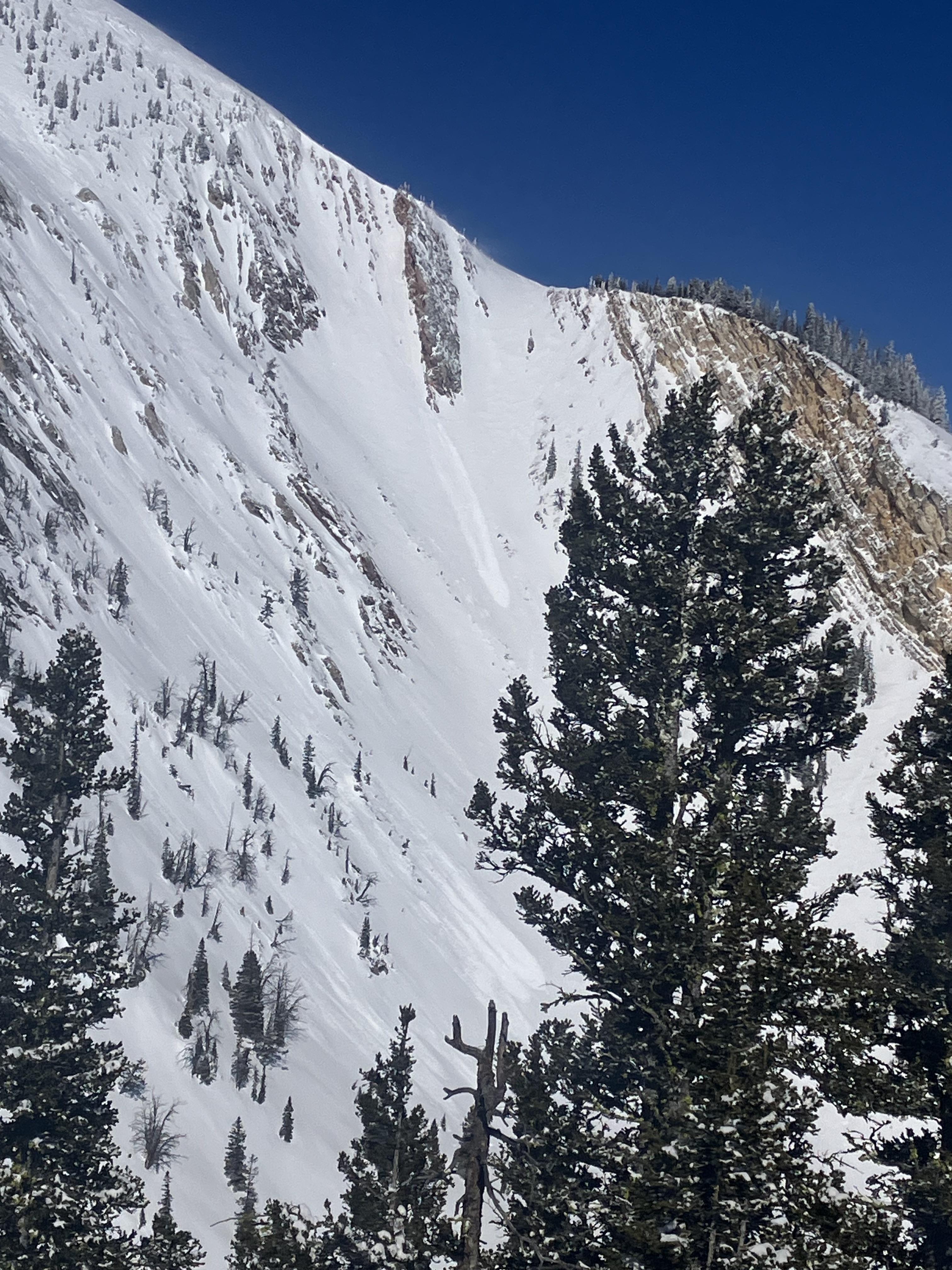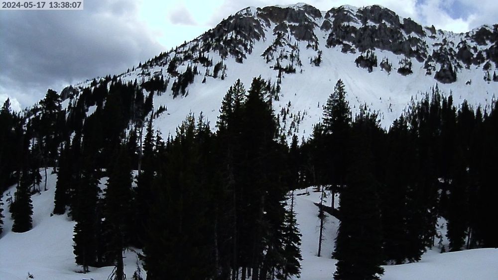

On may 6 on the Ramp there was 8-12” of heavy, mostly moist snow from yesterday. Winds were moderate to strong on the ridge and above ~7800’. Mostly cloudy.
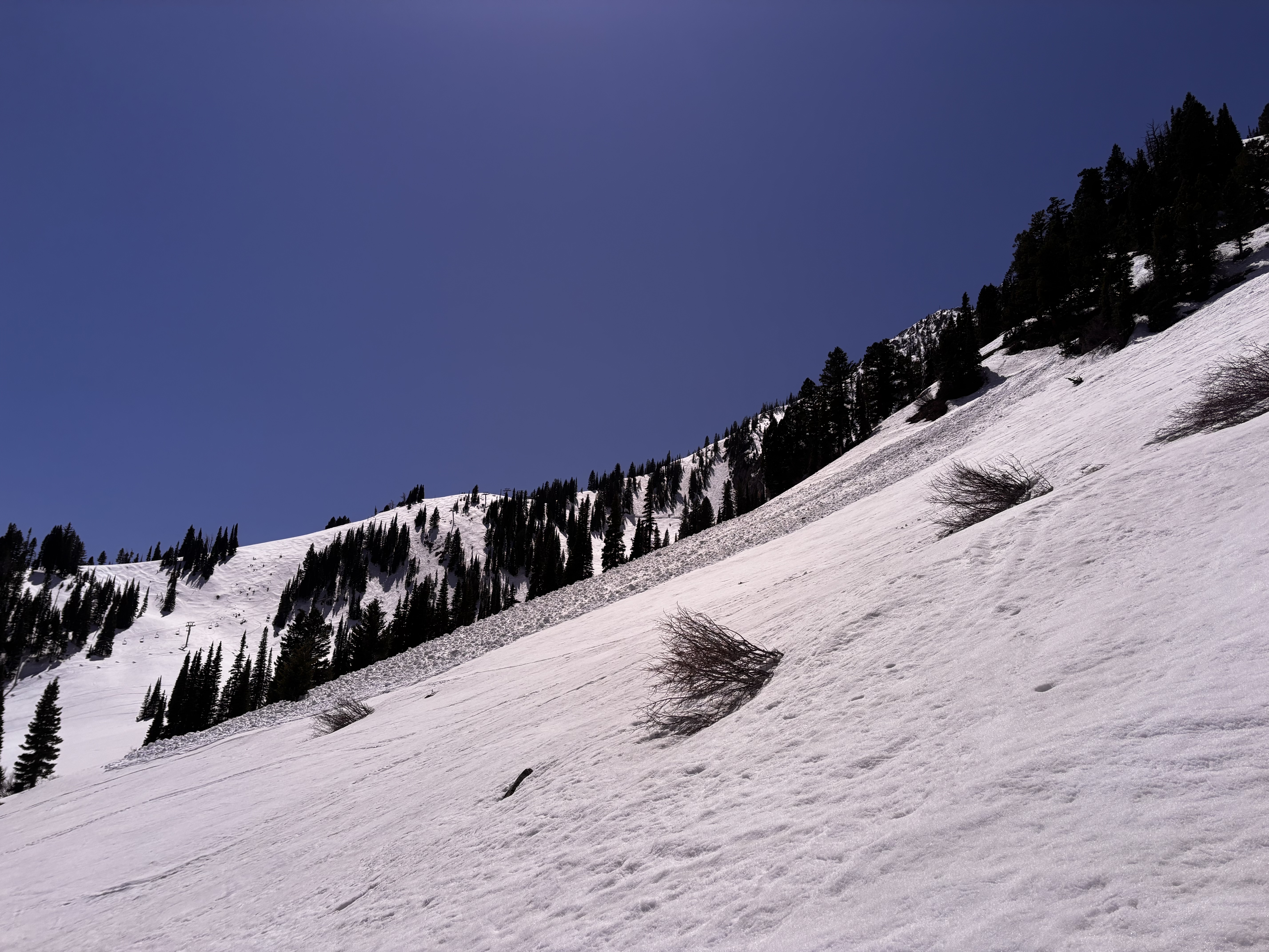
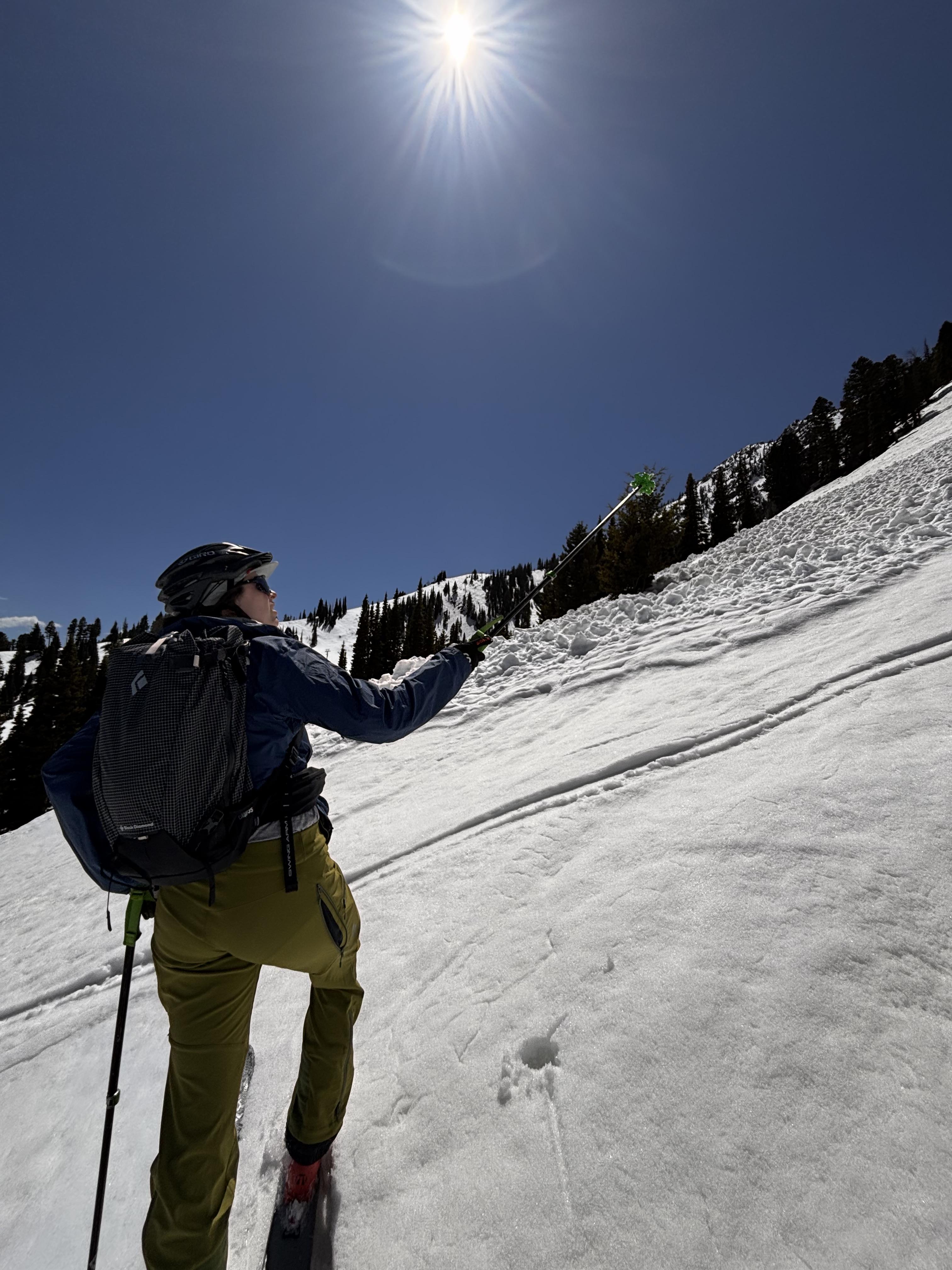
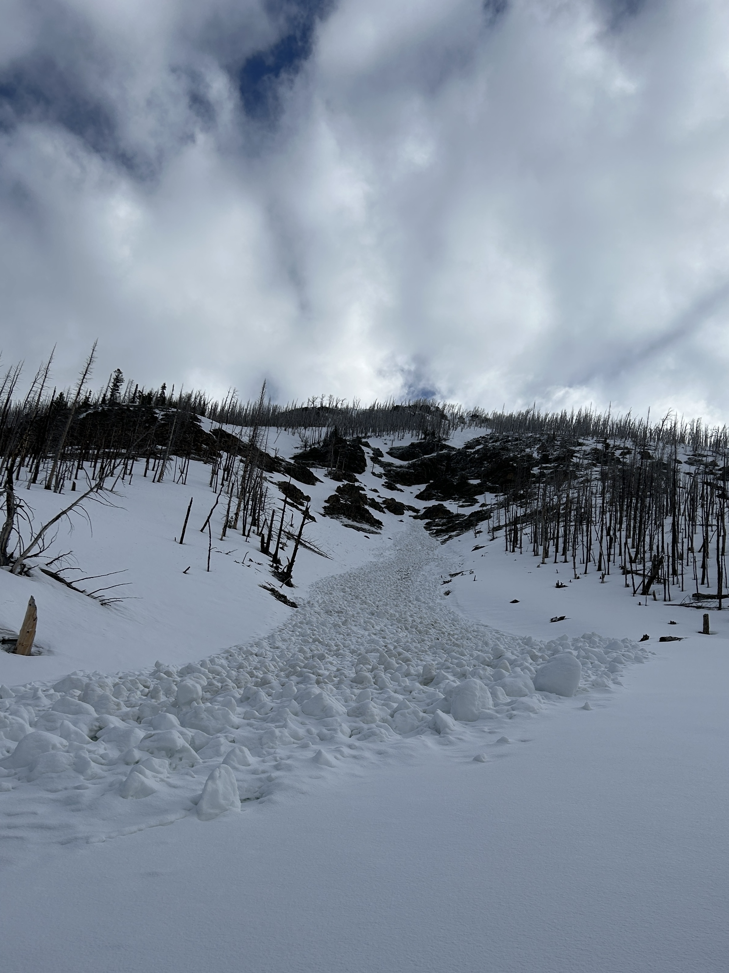
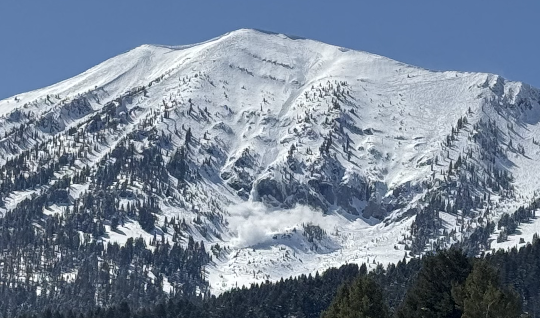
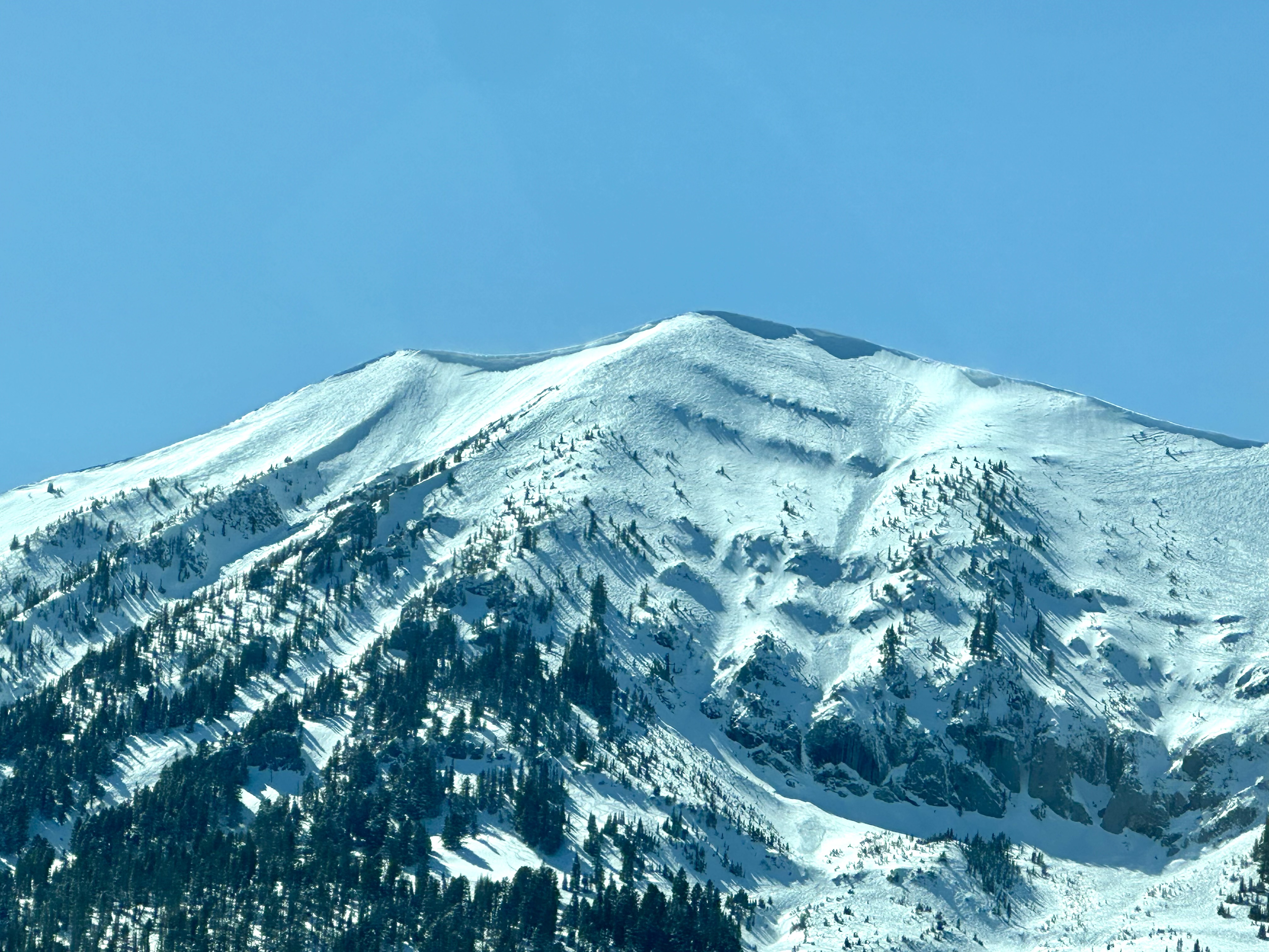
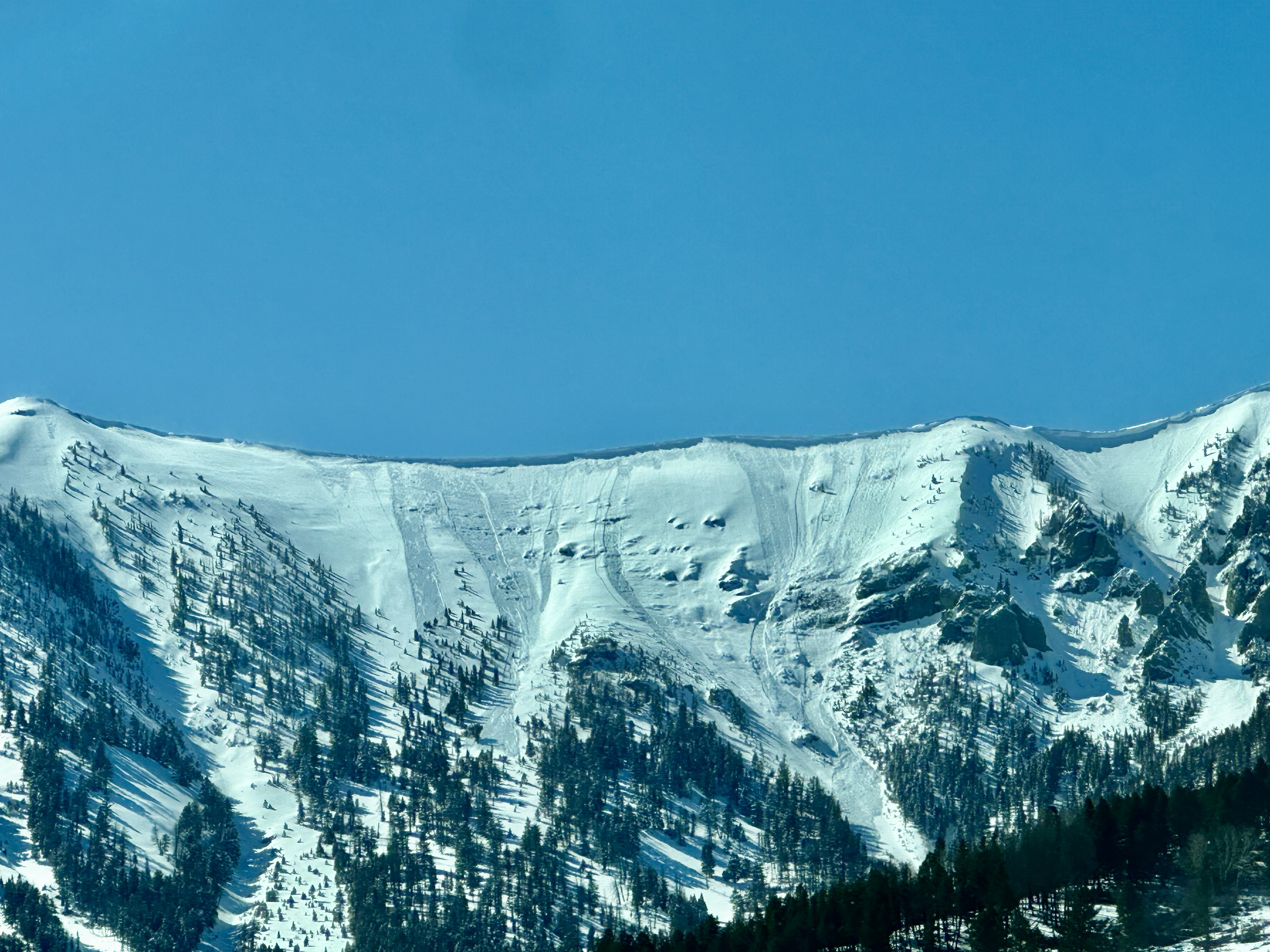
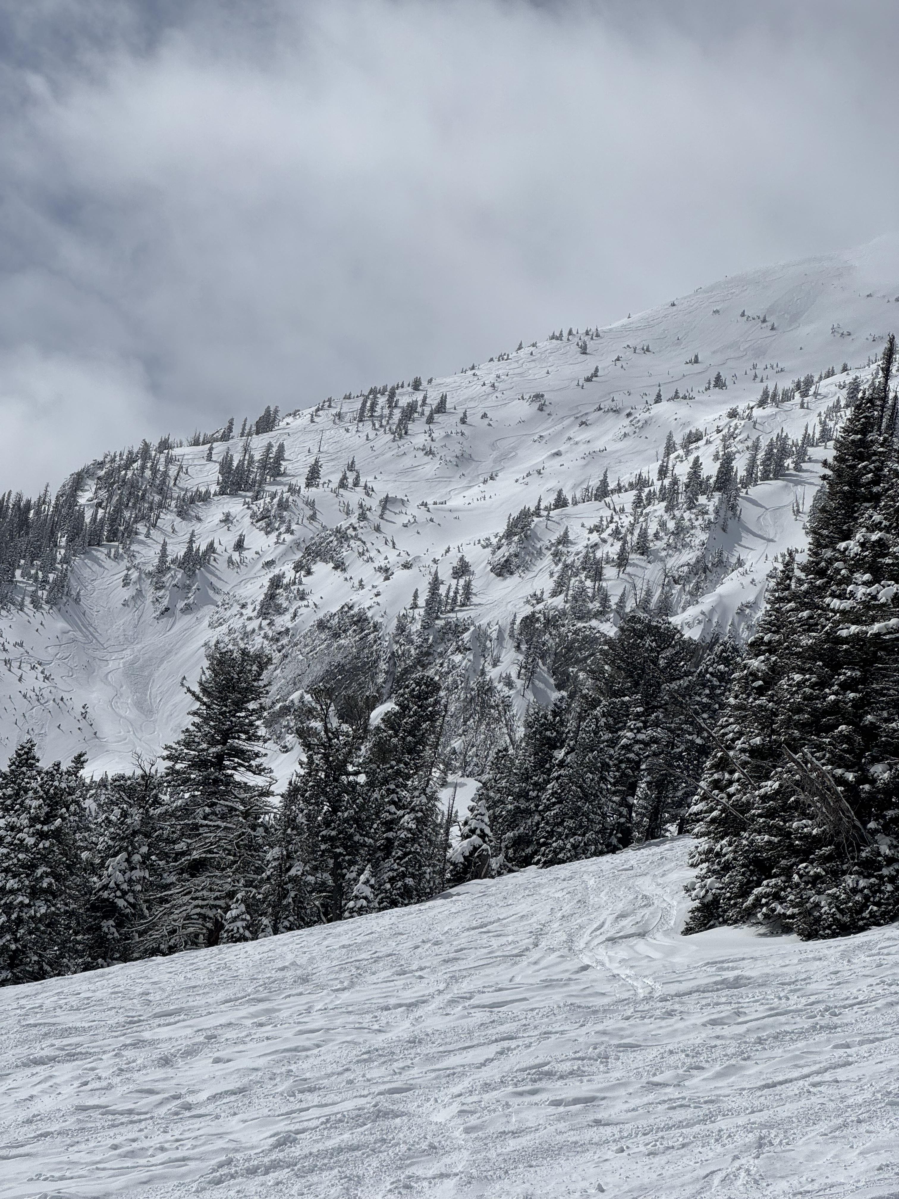
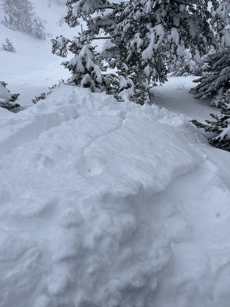
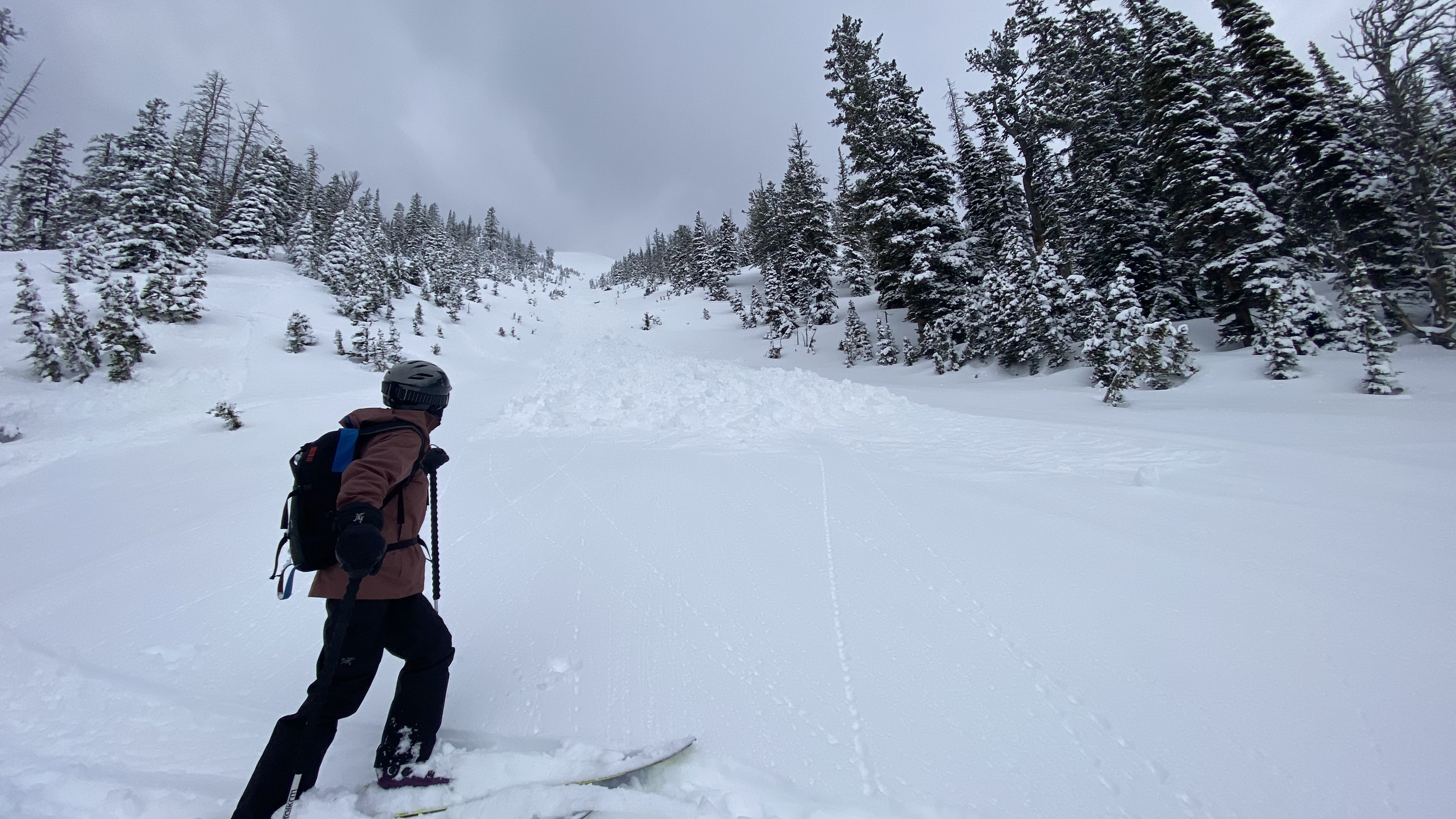
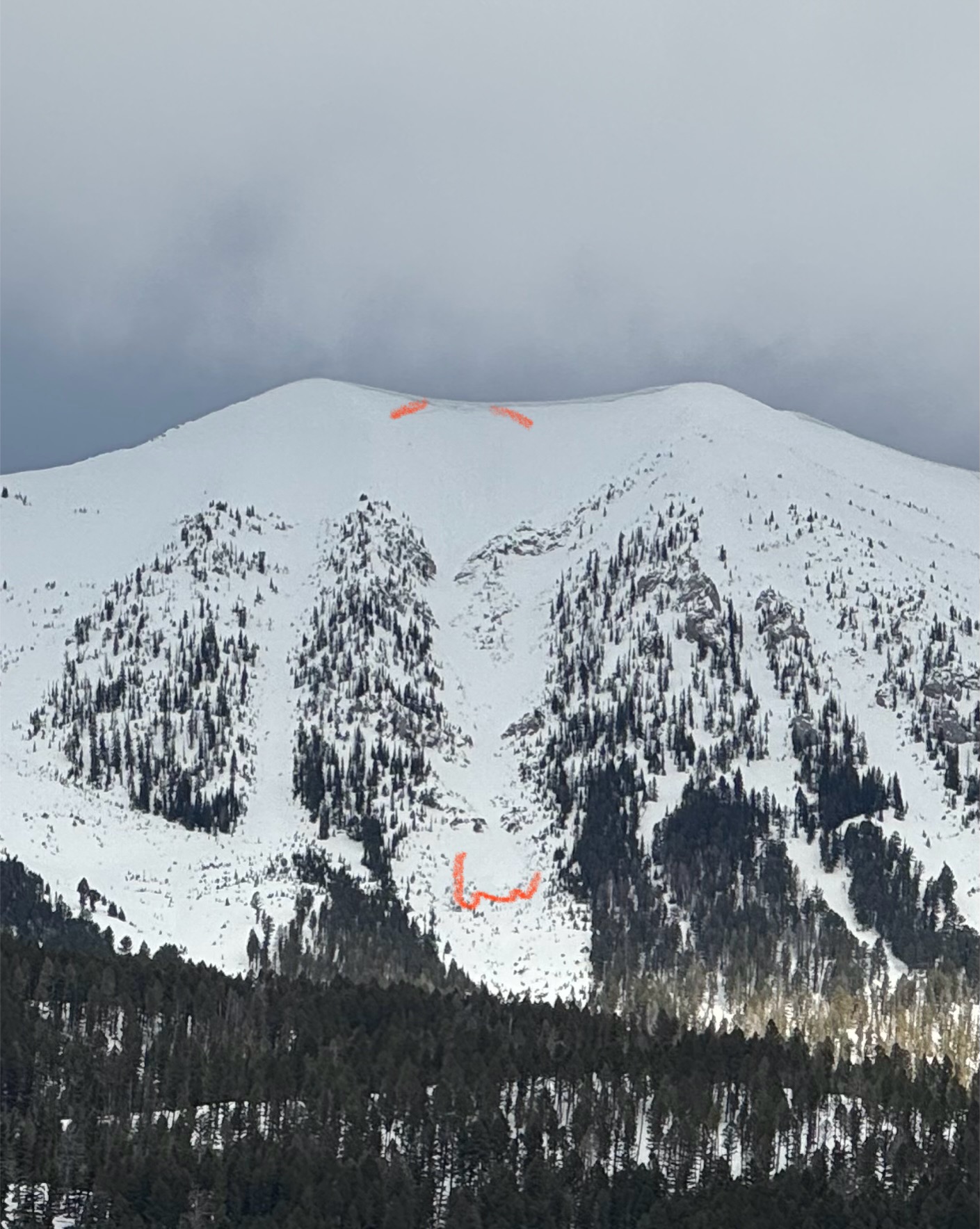
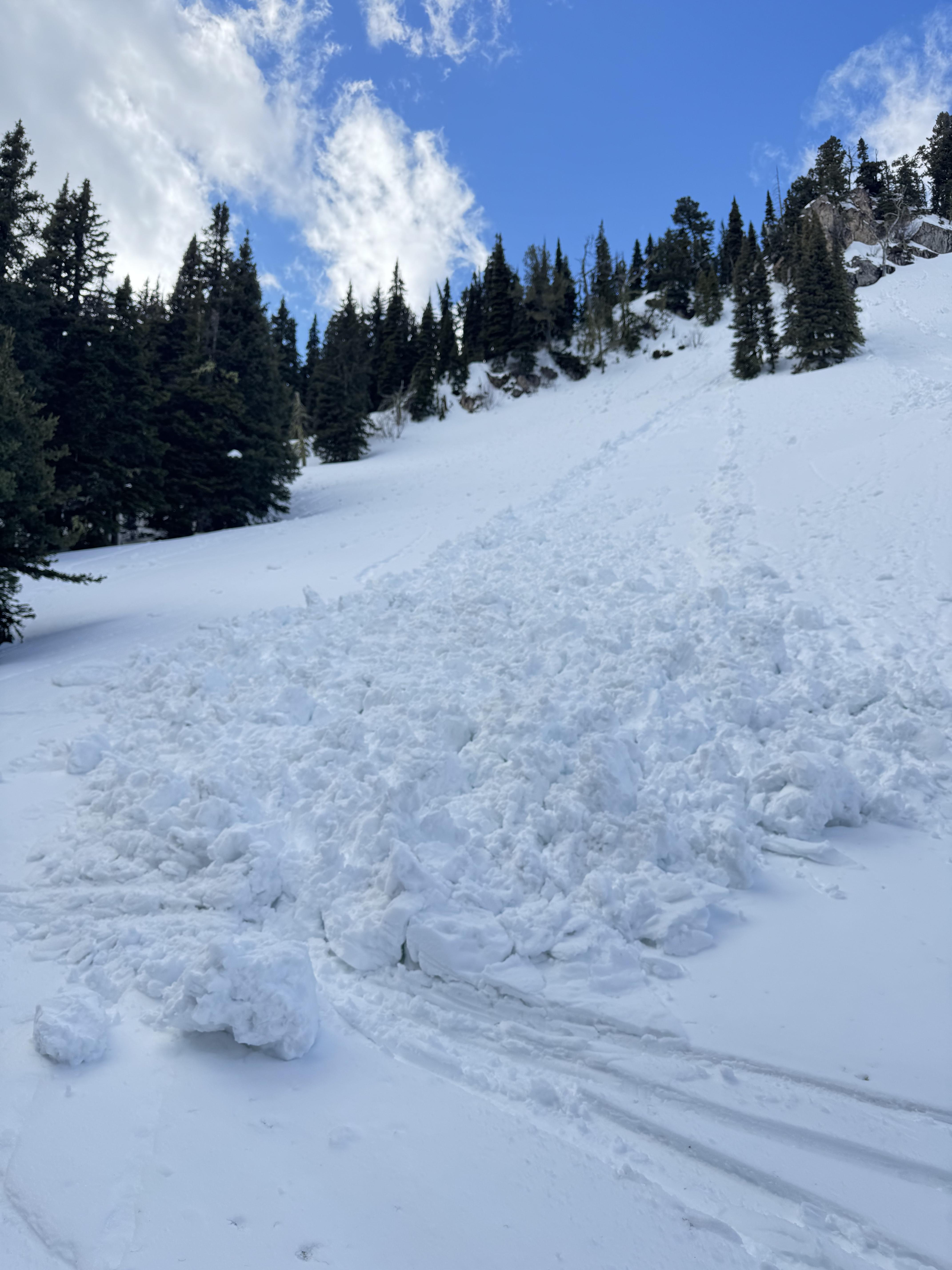
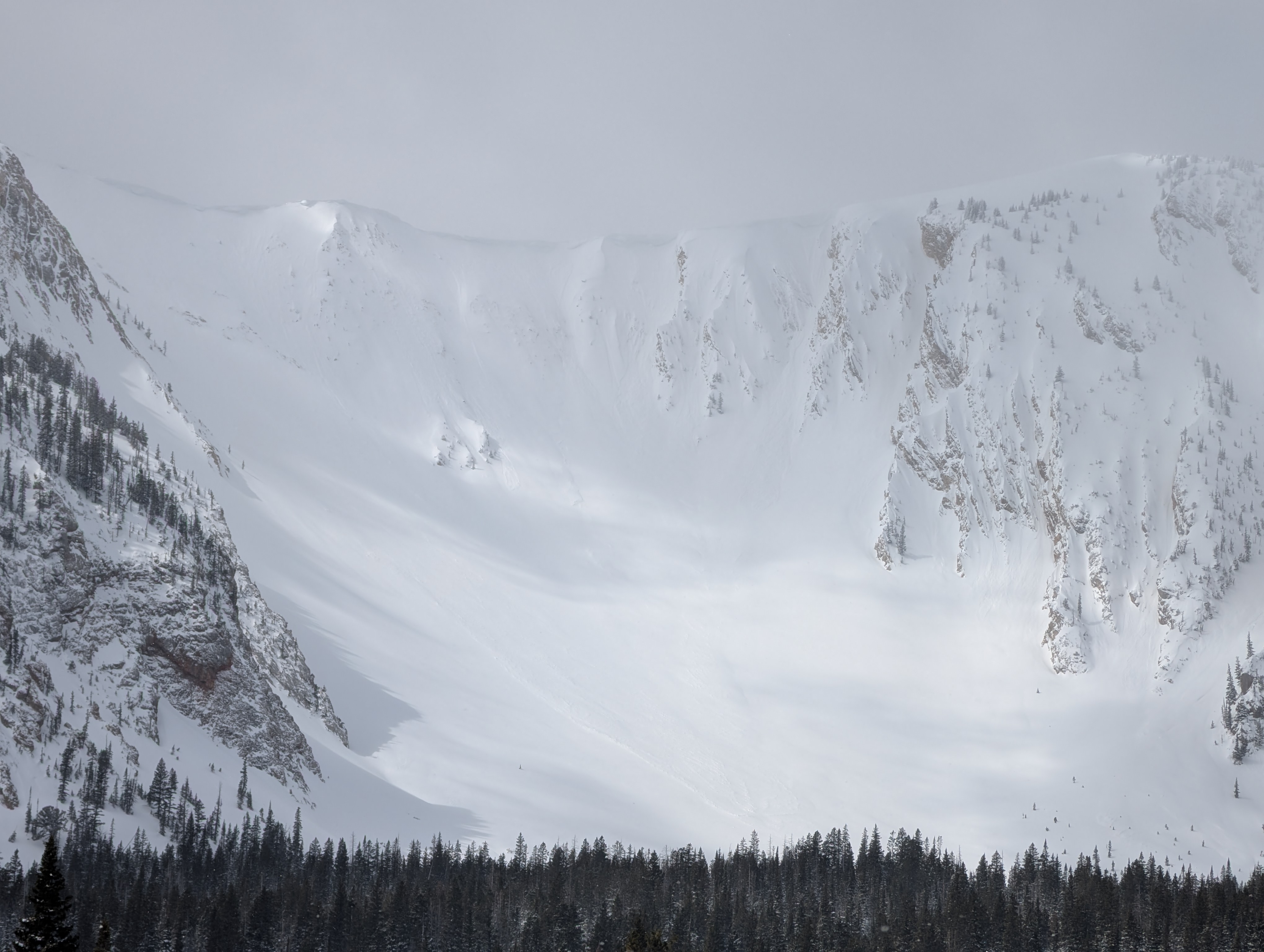
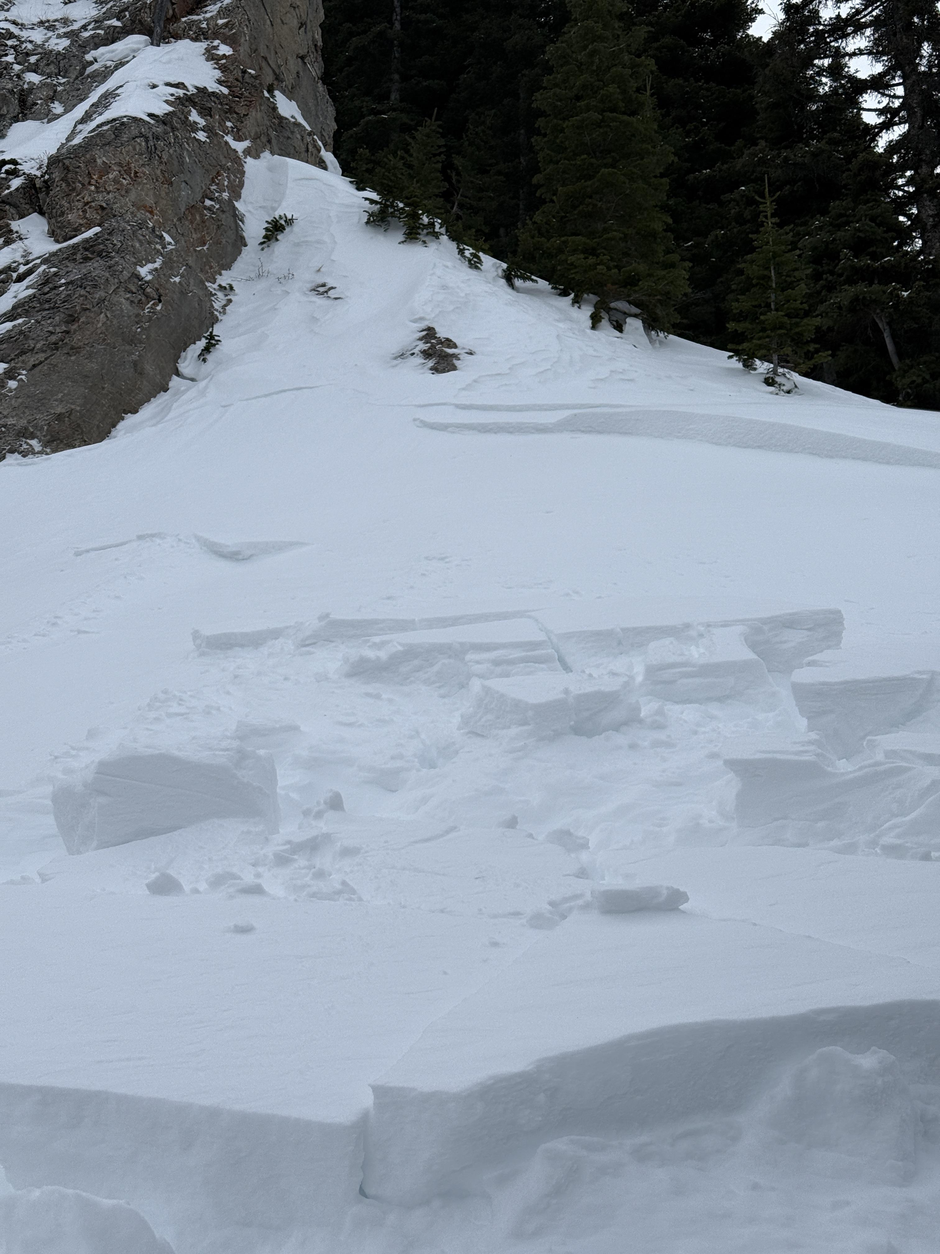
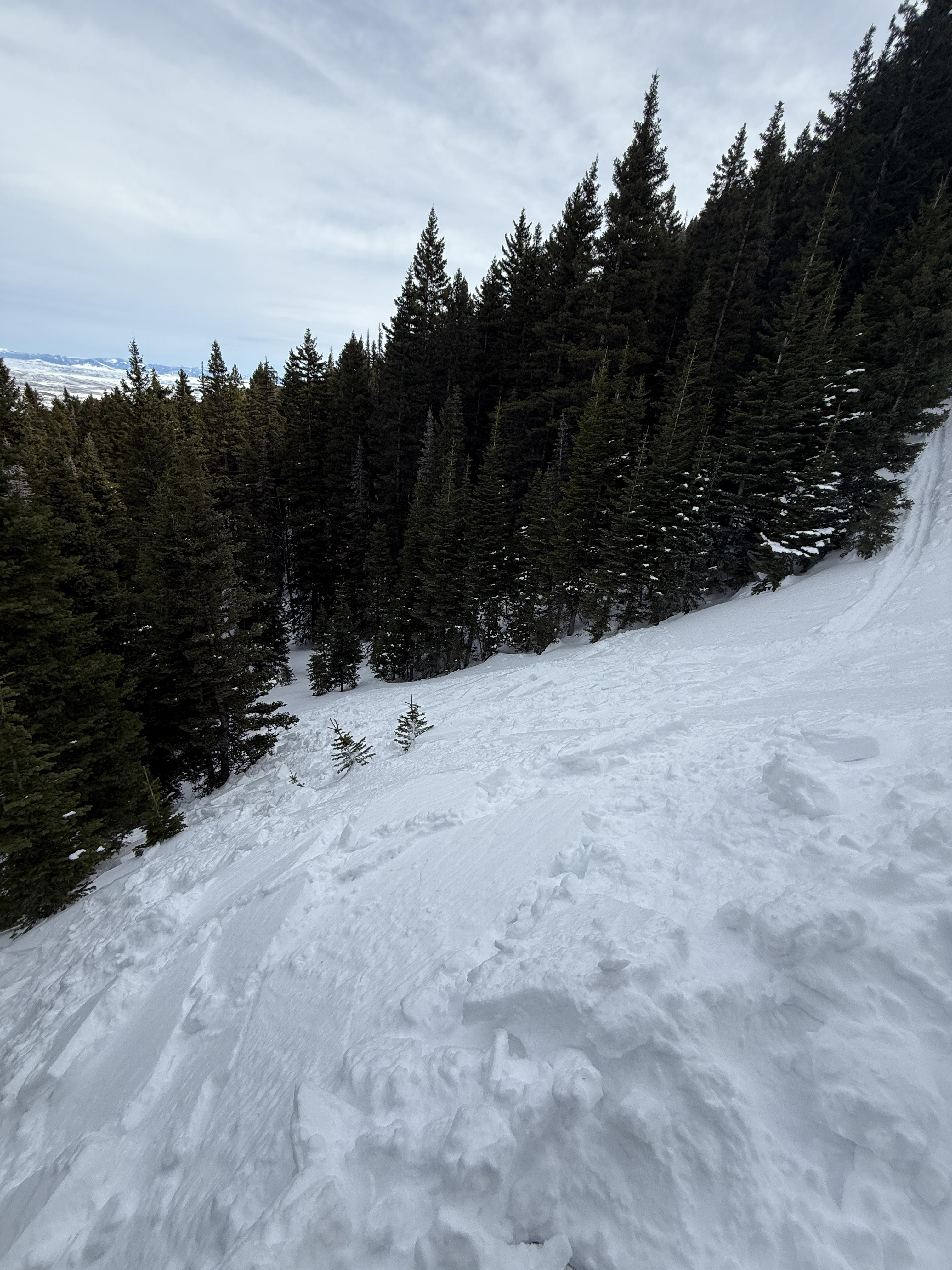
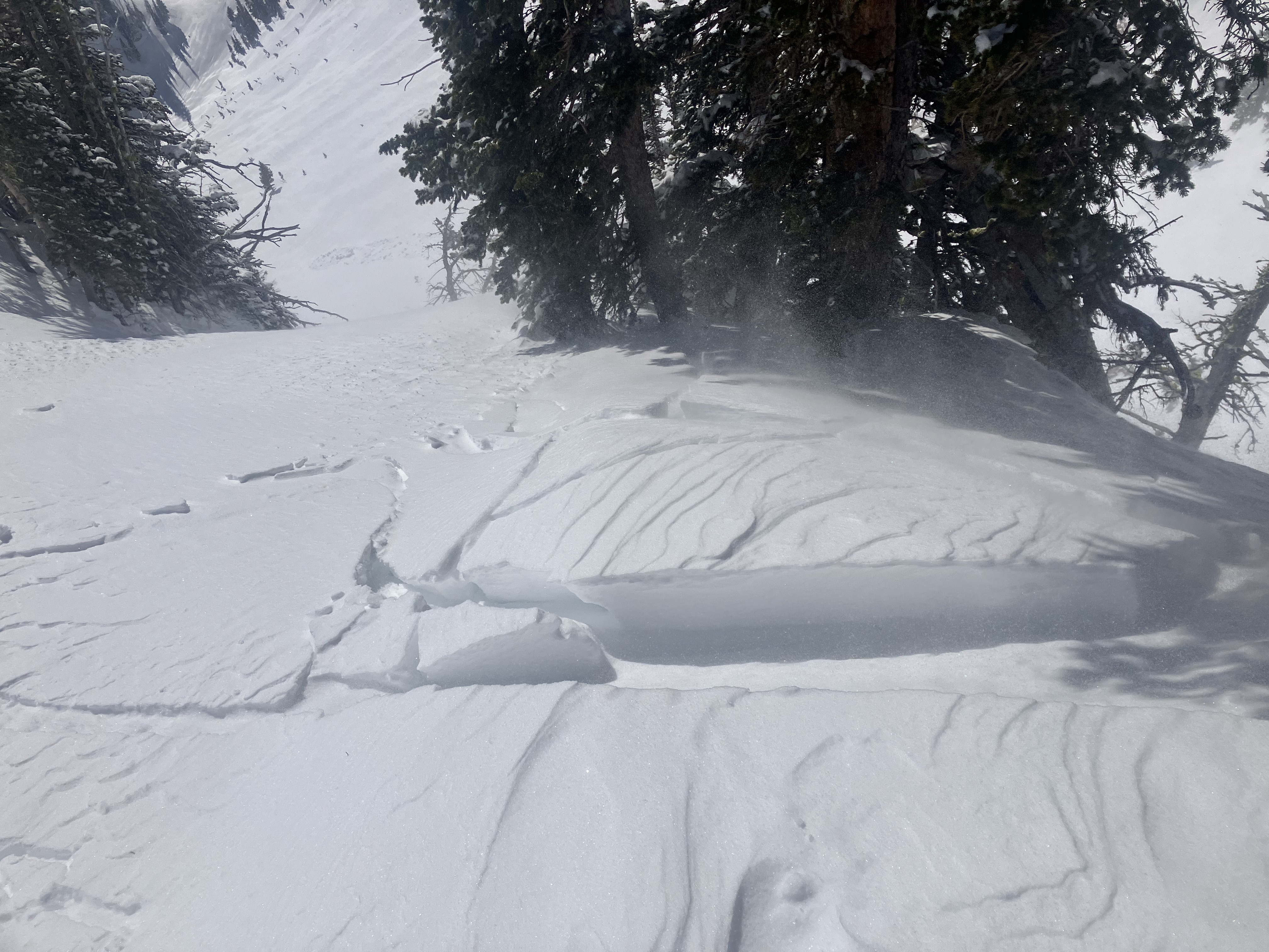
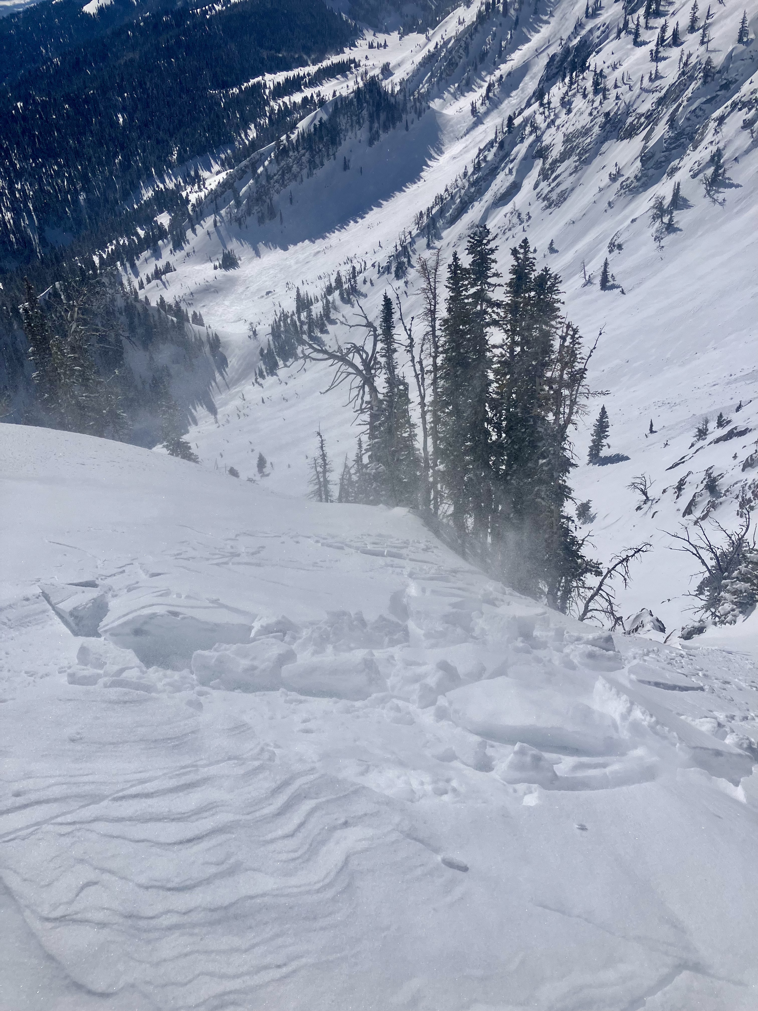
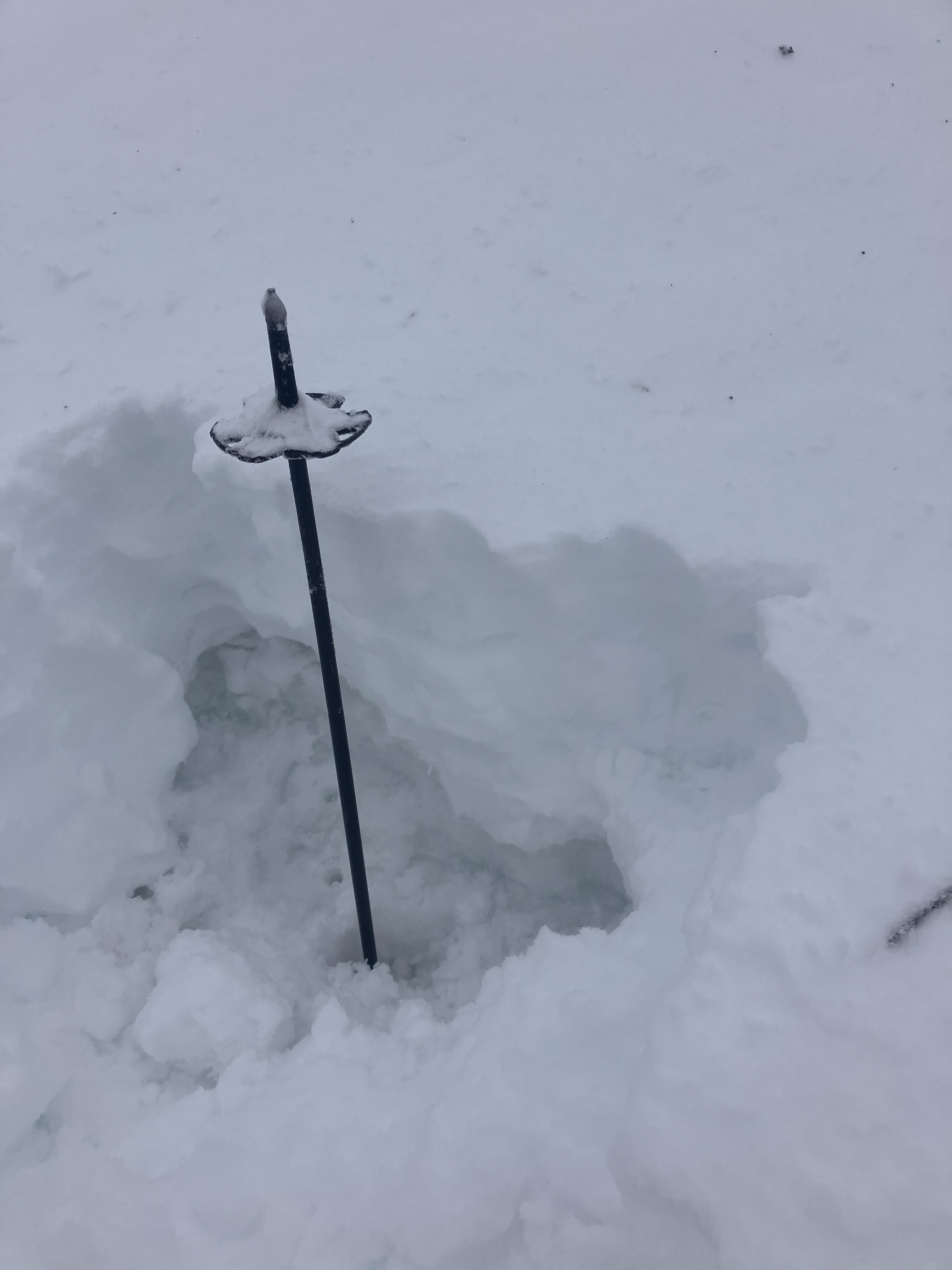
Below the new snow, the snowpack was not refrozen. There was a very thin, 1cm crust with saturated wet snow below. There were old wet slides, d2, that ran last week out of the steep terrain south of the ramp. Wet snow avalanche potential could increase quick when temperatures get hot.